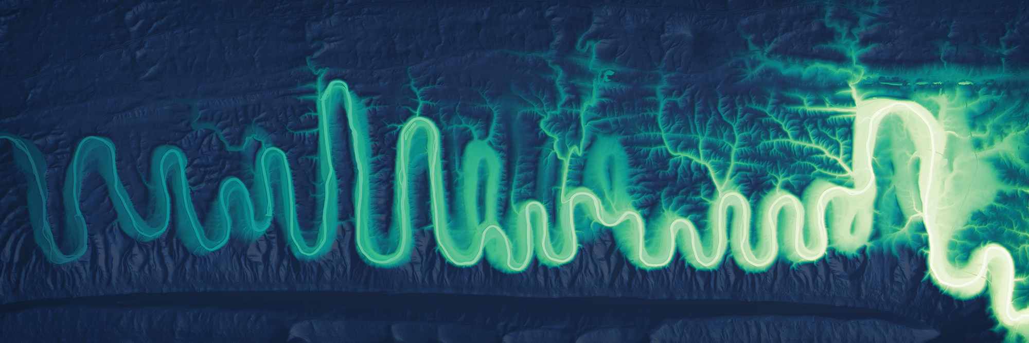
Entrenched meanders on the north fork Shenandoah River in Virginia.
Rivers of Data
A Washington cartographer blends art and science to chart the changing paths of waterways
Daniel Coe is a graphics editor for the Washington Geological Survey, where he spends his days wrangling raw data into maps and illustrations that deepen the understanding of the Evergreen State’s lands. In his spare time, he wrangles raw, open-sourced data of rivers past and present into vibrant and beautiful displays.
I went to art school right after high school and right after that moved to Alaska and became a sea kayaking guide. Many years later, I found myself in Portland, Oregon, going back to college. I couldn’t quite decide which direction to go, and geography seemed like the nexus of a lot of things I loved. I took a cartography class and realized the perfect match between art and geography is making maps. I’ve always been kind of obsessed with maps.
I eventually got a job with the Oregon Department of Geology, and they’re the group that collects lidar data for the state of Oregon. One day, as I was experimenting
500 words to go
You’re just getting to the good part.
This story — and 42 issues of them — opens with a subscription.
Either one picks up right where you left off.
Join 7,000+ readers · Independently owned · Since 2008
Already a subscriber? Sign in
Adventure Journal — Print Quarterly
Stories like this, in your hands four times a year.
42 issues. 11 years. Independently owned. Printed on 70lb uncoated paper with a soft-touch cover, solar-powered, and shipped in a brown paper envelope. Free domestic shipping.