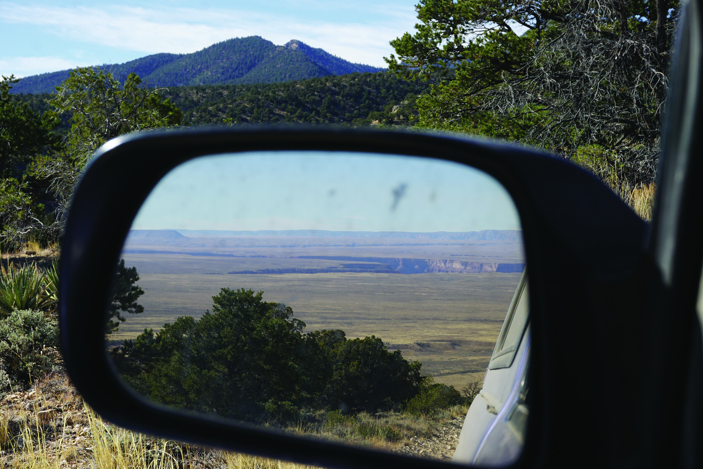
Northern Arizona’s forested Kaibab Plateau, leaving the dry canyon country and grasslands of western Navajo Nation in the rear view
A Trail Rises in the West
After two years of research, mapping, and ground truth, a geology professor has doubled the number of border-to-border American mountain bike routes
If you’re going to hike America from north to south or south to north through the backcountry, you have three choices. There’s the granddaddy of all American long-distance routes, the Appalachian Trail, running along the heavily forested hills from Georgia to the windswept mountains of Maine. There’s the Continental Divide Trail, a thru-hike bisecting the country along the spine of the Rocky Mountains. And farther west, of course, there’s the high country of the Pacific Crest Trail, winding mostly over the great Sierra Nevada and Cascade Mountains between Canada and Mexico.
For the north-south mountain biker who wants to ride border to border in the dirt, the choices are more limited. There’s the Great Divide Mountain Bike Route, which traces a similar path as the CDT over the Rockies and features 140,000 feet of elevation gain along its 2,750 miles. And then there’s, um, the Great Divide Mountain Bike Route. Since it was first drawn up in 1998, the GDMBR has
2,100 words to go
You’re just getting to the good part.
This story — and 42 issues of them — opens with a subscription.
Either one picks up right where you left off.
Join 7,000+ readers · Independently owned · Since 2008
Already a subscriber? Sign in
Adventure Journal — Print Quarterly
Stories like this, in your hands four times a year.
42 issues. 11 years. Independently owned. Printed on 70lb uncoated paper with a soft-touch cover, solar-powered, and shipped in a brown paper envelope. Free domestic shipping.