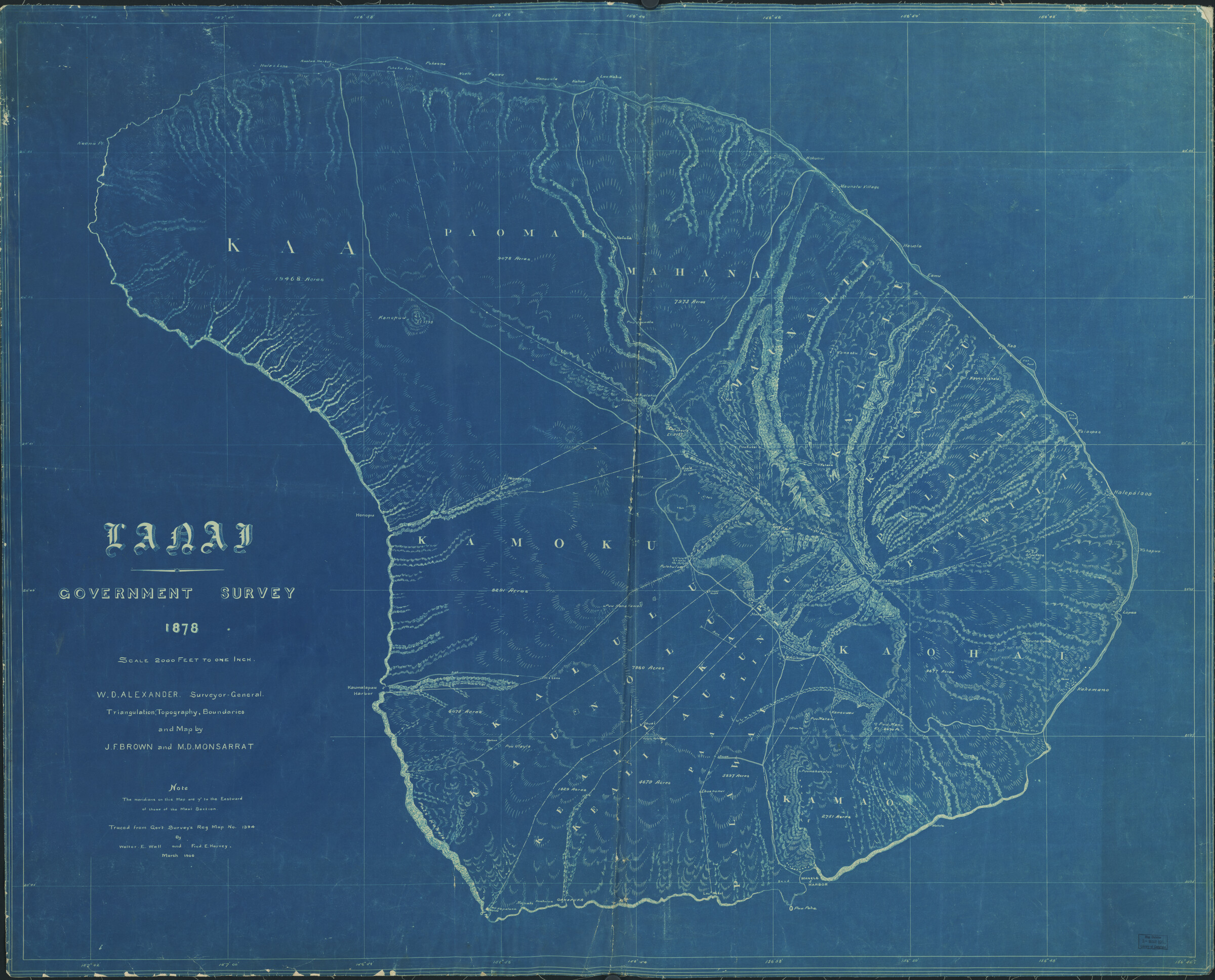
Until the 1950s, the United States Geological Survey engraved topographic maps into beautiful copper plates used to preserve and reproduce map prints.
Library of Congress
Astrogeologists have created out-of-this-world maps. Mercury, Venus, Mars, the moon, and Saturn’s moon Titan, among other celestial bodies, all have completed topographical surveys.
In 1879, the USGS was created and took over mapping duties from the U.S. Army; the first USGS topographical map was printed in 1882.
The USGS completed its series of topo maps covering every square inch of the contiguous United States more than a hundred years later, in 1992.
How accurate are USGS topos? Ninety percent of all horizontal points chosen at random must be accurate to within forty feet, vertical points to within five feet.
Printed in 1789, the Carte Géométrique de la France was the first multi-sheet topographic map of an entire country. It was produced by Cassini III, grandson of Giovanni Cassini, who discovered the rings of Saturn.
There are 54,000 1:24,000 scale (a.k.a. 7.5-minute) quadrangles in the complete map
200 words to go
You’re just getting to the good part.
This story — and 42 issues of them — opens with a subscription.
Stories like this, in your hands four times a year.
42 issues. 11 years. Independently owned. Printed on 70lb uncoated paper with a soft-touch cover, solar-powered, and shipped in a brown paper envelope. Free domestic shipping.