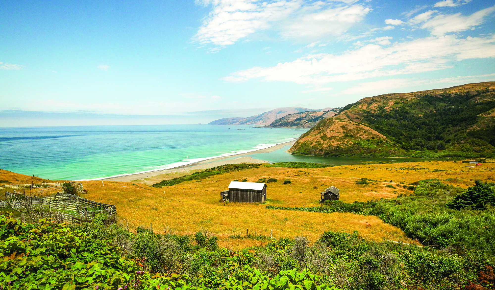
Mattole Estuary, King Range National Conservation Area, California
Across the Aisle, Across the Country
A gesture of bipartisanship created the National Conservation Area program
It’s early August in northwestern California’s King Range National Conservation Area. I’m here camping with my partner and three kids, enjoying the last week of summer break before school starts up again.
The heat is in full swing, even at this normally cool outpost in the far northern reaches of the state. The clear waters of the Mattole River have backed up against the ocean, forming a lagoon. River otters peek above the water and harbor seals sunbathe along the sandbar, unhurried. The surrounding hills are the color of hay bales.
The 68,000-acre conservation area spans a slender strip of public land managed by the Bureau of Land Management (BLM). Of the twelve hundred miles of Golden State shore, the King Range occupies just thirty-five. But thanks to the region’s rugged climate and dynamic geology, these isolated miles represent the longest stretch of undeveloped coastline in the contiguous United States.
Between October and April, storms line up offshore like airplanes approaching a
900 words to go
You’re just getting to the good part.
This story — and 42 issues of them — opens with a subscription.
Either one picks up right where you left off.
Join 7,000+ readers · Independently owned · Since 2008
Already a subscriber? Sign in
Adventure Journal — Print Quarterly
Stories like this, in your hands four times a year.
42 issues. 11 years. Independently owned. Printed on 70lb uncoated paper with a soft-touch cover, solar-powered, and shipped in a brown paper envelope. Free domestic shipping.