Want adventure? Leave the phone behind and traverse the Alps using only the directions of strangers
STORY AND PHOTOS BY BEN BUCKLAND
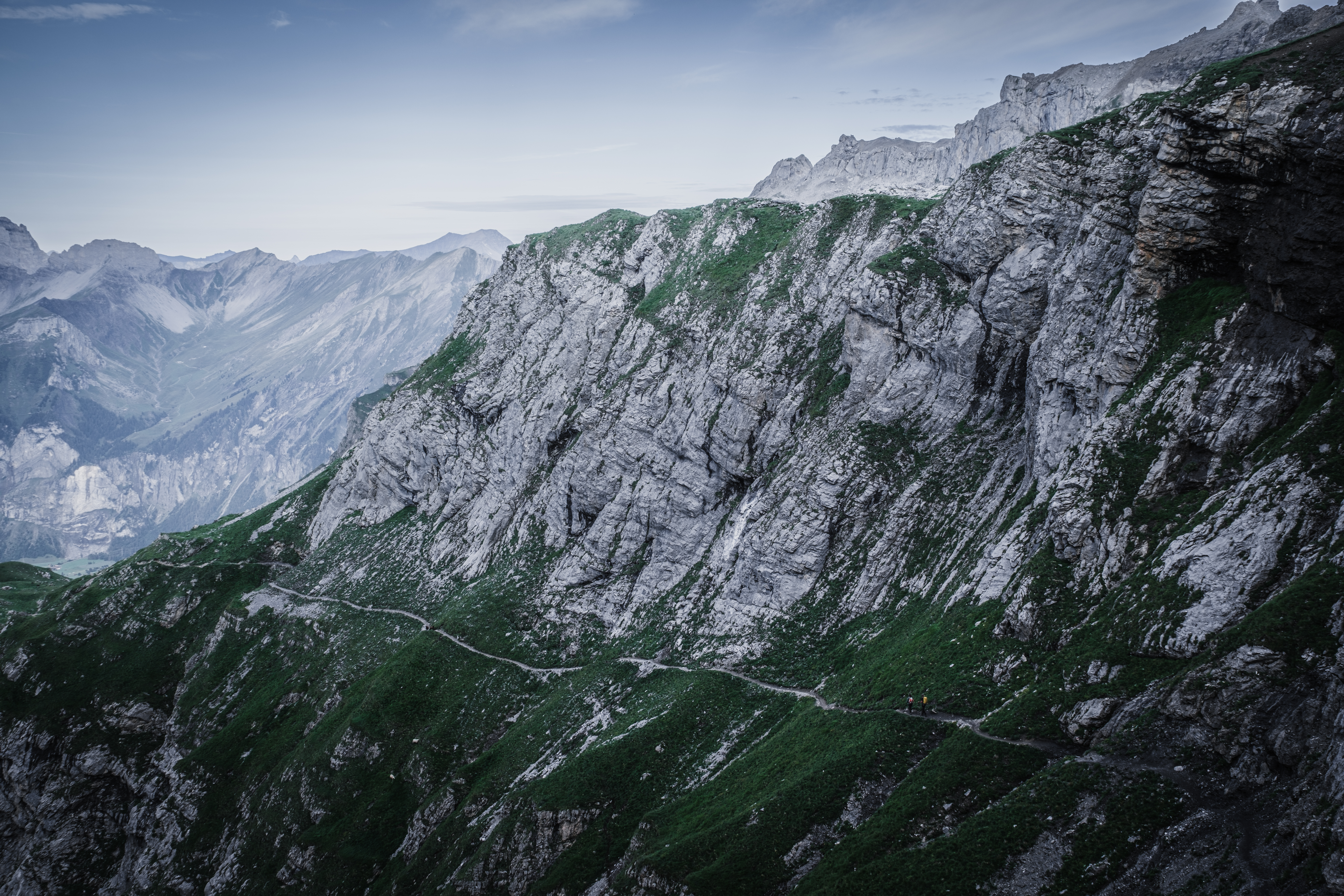
In the summer of 2023, bored with the predictability of modern travel, I chose to walk across the entirety of Switzerland, through the mountains, without a phone or any particular route in mind. I wanted to start on the border of France, where the Rhône River flows into Lake Geneva, and finish at Lake Constance, where the Rhine River marks the border with Austria. As a bird flies, a distance of around one hundred fifty miles.
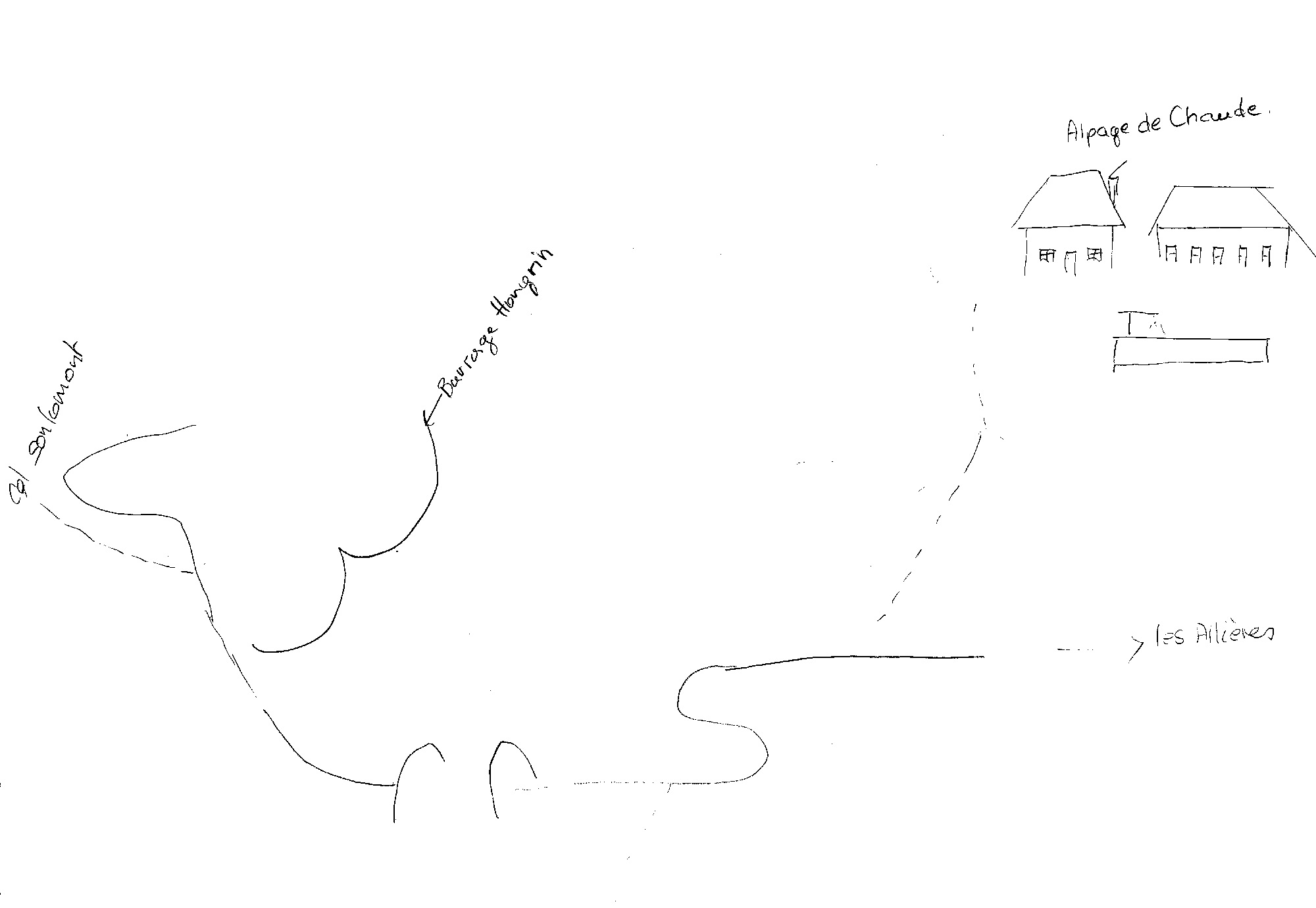
I decided to find my way by asking strangers, as often as needed, to draw maps for me to follow along whichever route they sent me. It was a nod to analog days, when we relied on paper maps and asked others for directions. Could I make my way across an entire country like this? And what might I gain by setting technology aside and opening myself to the world?
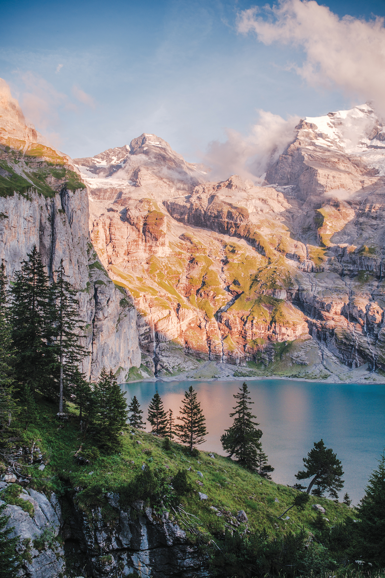
Sunrise above the author’s bivy near the Oeschinensee
Day One (2022): Lake Geneva to Col de Chaude
I wake early. It’s still dark. The tent is flapping in the
3,200 words to go
You’re just getting to the good part.
This story — and 42 issues of them — opens with a subscription.
Stories like this, in your hands four times a year.
42 issues. 11 years. Independently owned. Printed on 70lb uncoated paper with a soft-touch cover, solar-powered, and shipped in a brown paper envelope. Free domestic shipping.