Artifacts: Inuit Cartography
The modern world finds renewed fascination with the carved driftwood maps of East Greenland
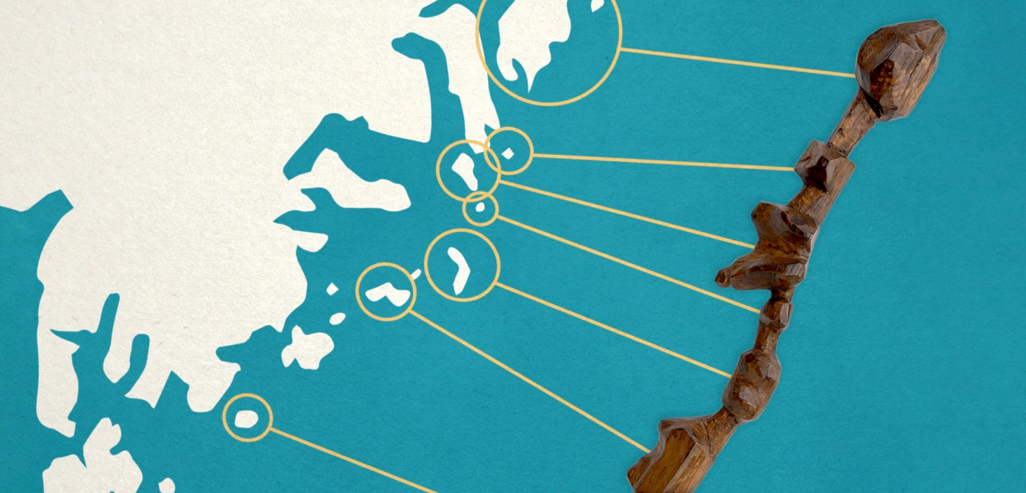
By the early 1880s, when Danish geologist Gustav Holm was thirty-one and returning to explore the Arctic lands he loved, western Greenland had been colonized for one hun dred fifty one years, but the east coast was so unknown Greenlanders called it Tunu—the “backside”—and the locals were known as Tunumiit (one presumes the “backsiders”). They’d never even seen a white man until Holm showed up in 1883.
They welcomed him, however. The Dane and his crew moored their ship and clambered into locals’ boats called umiaks, and what hence became the Umiak Expedition made contact with eleven previously unknown Inuit communities and a total of four hundred thirteen inhabitants. Holm won all kinds of medals and awards for these Greenland forays, but he would have been little more than a footnote in Danish history books had he not brought back something that has captured subarctic imaginations ever since: hand-carved driftwood maps of the Ammassalik region of the East Greenland coast.
Disko Bay, Greenland. Photo by Stephen Casimiro Cousins to the more widely
500 words to go
You’re just getting to the good part.
This story — and 42 issues of them — opens with a subscription.
Either one picks up right where you left off.
Join 7,000+ readers · Independently owned · Since 2008
Already a subscriber? Sign in
Adventure Journal — Print Quarterly
Stories like this, in your hands four times a year.
42 issues. 11 years. Independently owned. Printed on 70lb uncoated paper with a soft-touch cover, solar-powered, and shipped in a brown paper envelope. Free domestic shipping.