culture
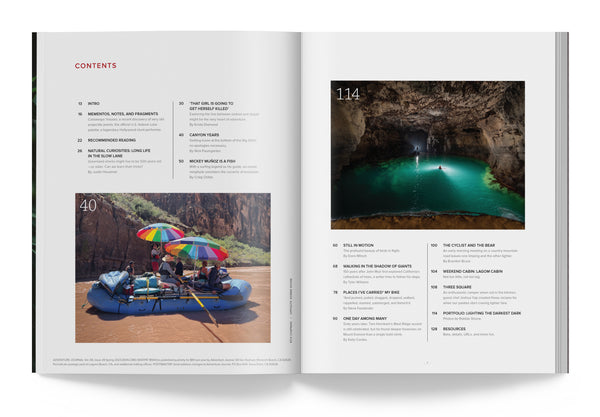
Humbled By the Grand Canyon of the Colorado
When you have the opportunity to float a trip like this, you have to say yes.
Read more
podcast
If You Could Have Any Outdoor Job, What Would You Pick?
Picking the perfect outdoor job, plus, pondering the joy of paper maps in a digital map age.
Read more
culture
Black Diamond Goes 'RetroModern' in Terrific Video Series
New Black Diamond series focuses on re-imagining and re-discovering historic climbing routes.
Read more
gear
Review: A Gas Coleman Lantern Is a Classic For a Reason. Lots of Them, Really.
Why the Coleman gas lantern still deserves a place in your gear shed.
Read more
podcast
Are You an Outdoor Loner? Or a Social Butterfly? Plus, Cowboy vs Tent Camping, and What's the Best Camp coffee Prep?
Are you a group ride/camp/hike/polar expedition kinda person, or a solo adventurer? What are the pros and cons of each? We also dig into the French...
Read more
culture
We Need to Know Avalanches Inside and Out
The average number of avalanche deaths per year in the United States has stayed the same for more than a decade, despite the growing number of wint...
Read more
culture
The Family That Skis Together...Skis Together. Meet the Hagens.
The Hagens are pro skiers raising a family smack in the middle of some of Europe's best skiing. For the kids, it's a dream. For the parents, it's a...
Read more
podcast
Does the Perfect Adventure Vehicle Exist?
If you're looking for an adventure rig, you have seemingly endless choices (except for rugged, simple, and affordable—come on, car makers!) In thi...
Read more
culture
Opinion: Culture Wars and an Embattled Utah Monument
Utah’s Bears Ears National Monument rarely leaves the news. The political tussle over this stunning expanse of red rock canyons exemplifies all ...
Read more
podcast
Everything You Ever Wanted to Know About Bikepacking with Bikepacking Guru Kurt Refsnider
Kurt Refsnider had the dream gig -- Geology professor at Prescott College, in Prescott, Arizona, near tons of great riding. But as bikepacking too...
Read more
historical badass
Rell Sunn, Surfing’s Graceful Queen, Was as Tough They Come
Few people ever touch their particular corner of the world, culturally, geographically, or spiritually, like Hawaii’s Rell Sunn. She was, still i...
Read moreDon't Miss the Next Issue, Subscribe Today
98% of subscribers renew :)

Single?

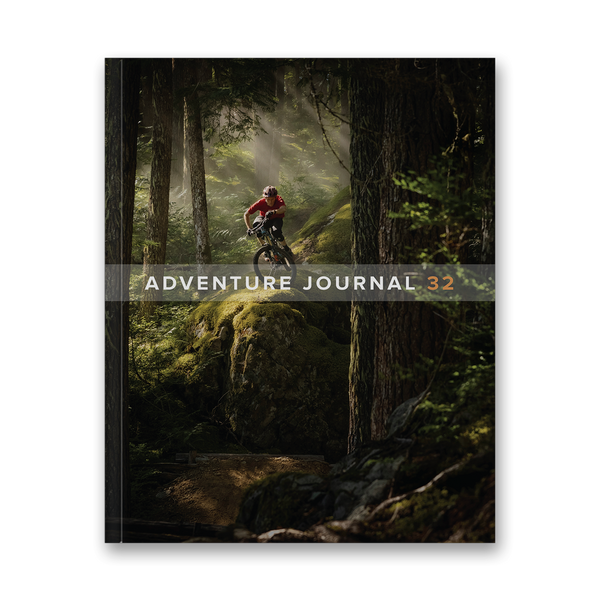
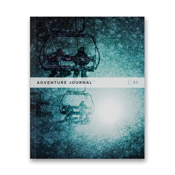
Adventure Journal 32
$20.00


Adventure Journal 31
$20.00

Adventure Journal 30
$20.00

Adventure Journal 29
$20.00

Adventure Journal 28
$20.00

Adventure Journal 27
$20.00
Complete your collection with back issues of AJ